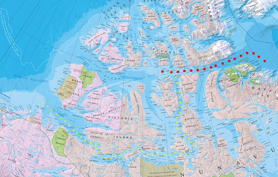
Heavily resized crop of the Natural Resources Canada 'Northern Canada' map with author's annotations. The red route seems the most direct NW passage but not navigable at the time.
Amundsen followed the yellow route, hugging the shoreline in a shallow draft converted herring boat.
Part of a whole work reproduced as stated on the site's Terms and Conditions. "The reproduction is a copy of an official work that is published by the Government of Canada and the reproduction has not been produced in affiliation with, or with the endorsement of the Government of Canada".
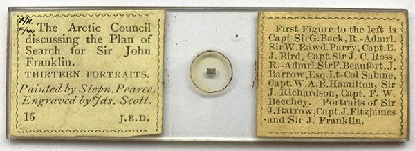
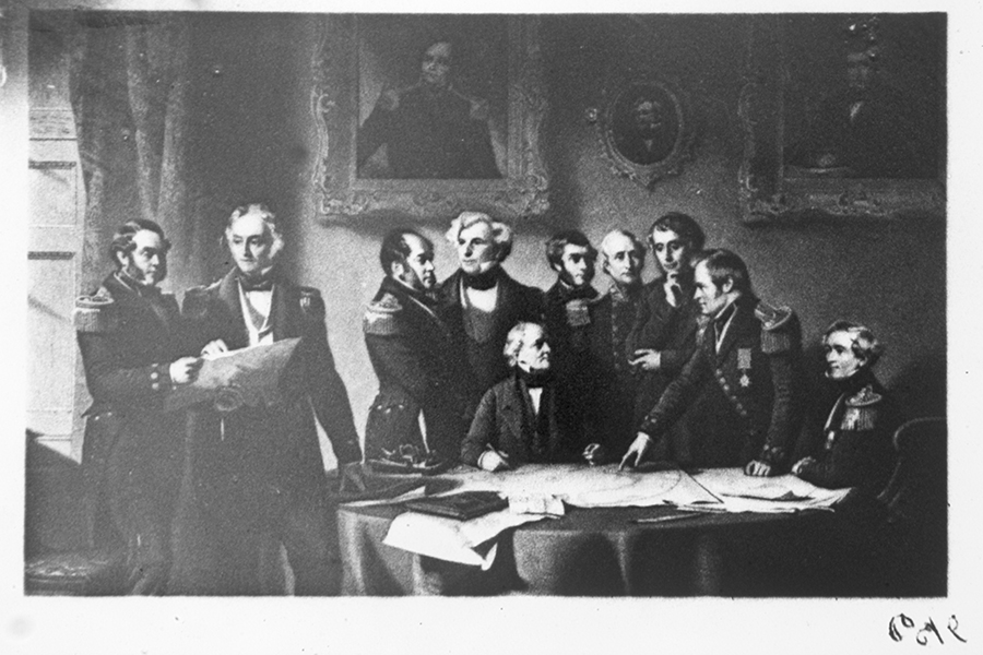
I'm easily pleased and chuffed when two apparent disparate interests occasionally meet. This was the case when idly browsing eBay UK I spotted a Dancer microphotograph slide depicting 'The Arctic Council discussing the Plan of Search for Sir John Franklin'. The demise of Franklin's last expedition is one of the enduring tales of Arctic exploration and was recently in the news when both ships were located on the seabed (HMS Terror in 2016 and HMS Erebus in 2014). The prices fetched span a wide price range from under £10 for The Lord's Prayer to over £100 for the Moon. Fortunately this subject did not attract strong interest and a few tenners secured.
The microphotograph is ca. 1.8 x 1.0 mm wide and very fine grained, the close up with a 40X and 2X Optovar starts to show the grain. It would require oil immersion and higher mag to measure grain size but avoid oiling up slides of this type. This is currently the only microphotograph in my collection. Brian Bracegirdle's and James B. Mc Cormick splendid book 'The Microscopic Photographs of J. B. Dancer' Science Heritage Lltd, 1993 is a splendid complement or alternative to acquiring many at some cost.

The Dancer slides are well labelled and each subject numbered, no. 15 in this case.

Zeiss 4X planapo. Sir John Franklin's portrait is on the wall far left. Many of the great and the good of past and present exploration of the time are present.

Zeiss 40/0.75 Neofluar with 2X Optovar.
Comments to the author David Walker are welcomed.